Laser Compass Measurement
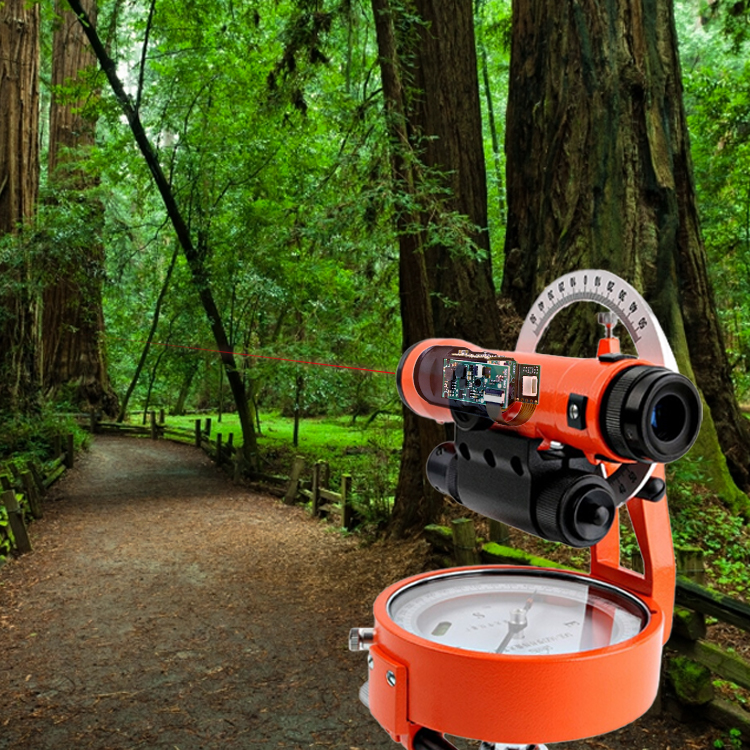
The compass is an instrument used to measure direction. It is one of the important components of the navigation and positioning system. It is also often used in geographical survey work. It plays a very important role in outdoor activities such as hiking, camping and mountain navigation. The role of the compass is also often used in construction and engineering to measure and calibrate the direction. Now many instrument manufacturers integrate the lrf module into the compass, which can assist the precision and accuracy of the compass in positioning by measuring the distance between the object and the instrument.

The laser distance transducer can realize the following functions in the compass:
Calibrate the compass: The laser distance measure sensor can compare the measured actual distance with the measured value of the compass, so as to calibrate the pointing accuracy of the compass and improve the positioning accuracy of the compass.
Auxiliary positioning: The precise distance sensor can be used to measure the distance between the object and the compass, and compare it with known geographic coordinates or preset points, so as to help the compass determine the current position and perform path planning in navigation.
Obstacle avoidance function: The laser range finder lidar can detect the distance between the object and the compass, thereby helping the compass to avoid obstacles and improving the safety and stability of travel.
In short, the application of the laser miniature distance sensor can improve the measurement accuracy and positioning accuracy of the compass, and increase its function and reliability.
Seakeda laser rangefinder module has the advantages of small size, high precision, long range, and high cost performance. It is the preferred supplier of many equipment manufacturers. If you have integrated rangefinder modules into your equipment, please contact our engineers. Selection and technical support!
Email: sales@seakeda.com
Whatsapp: +86-18302879423
Below Product Can Be Used
Post time: Aug-03-2023


